
The Vanishing Art of Map Reading in a Digital World
There was a time—not too long ago—when a family road trip couldn’t begin without unfolding a massive paper map across the kitchen table or the hood of a car. Highlighters marked the route, sticky notes highlighted landmarks, and AAA maps were tucked into glove compartments like treasure maps waiting to be decoded. But fast-forward to today, and many young adults have never even held a paper map, let alone navigated by one.
In the age of smartphones, GPS, and voice-assisted turn-by-turn directions, traditional cartography has fallen by the wayside. Technology has made navigation faster and more convenient, but it has also made us more dependent—and, in many ways, less prepared.
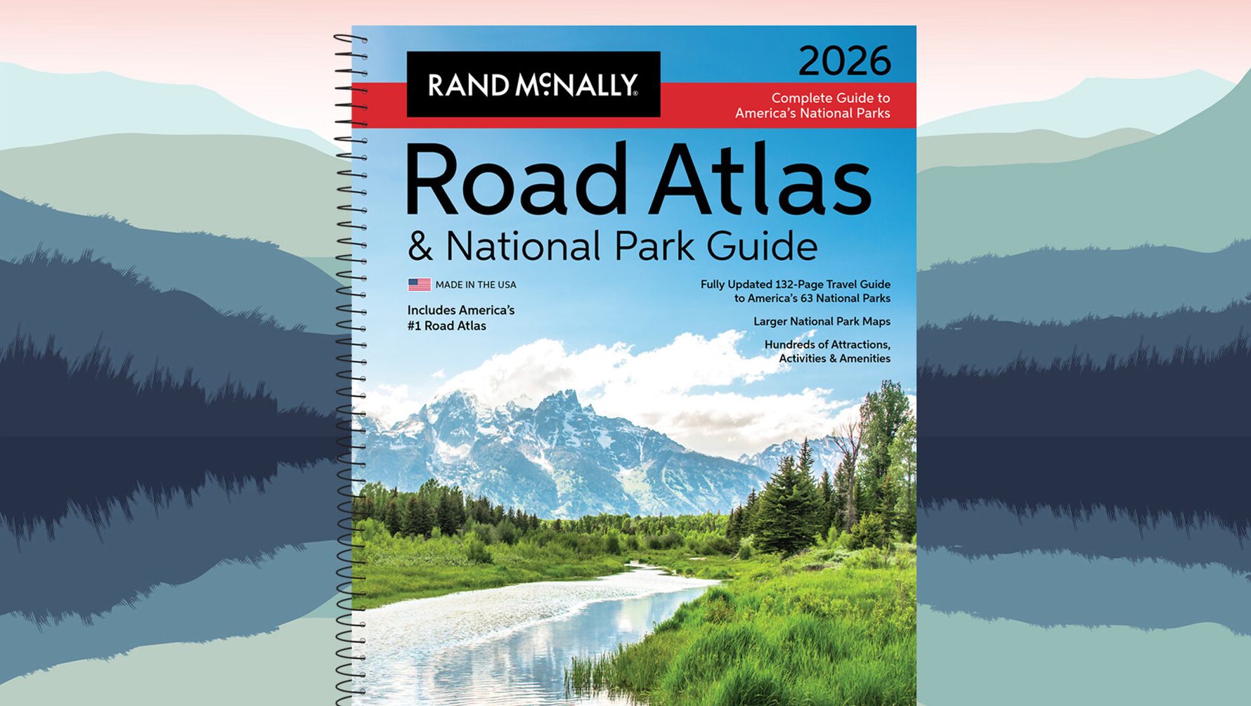
There’s an entire generation growing up with the assumption that navigation is a digital function, not a practical skill. Ask a teenager to find their way using a laminated state map or a Rand McNally road atlas, and you’re likely to get a blank stare. To some, these tools are as foreign as rotary phones or VHS tapes. But while the devices may be outdated in appearance, the skills required to use them are far from obsolete.
Map reading is more than a nostalgic nod to the past—it’s a fundamental survival skill. In the event of a power outage, natural disaster, or a failure of digital networks, knowing how to orient yourself using a paper map could be the difference between staying lost and getting home. Whether you’re on the road, out on the water, or deep in the woods, technology can fail—but the compass rose on a map won’t.
Paper maps don’t run out of battery, can’t be hacked, and don’t depend on a cellular signal. They work in the mountains, in rural dead zones, and during emergencies when electronic devices become nothing more than expensive paperweights. Yet, we continue to overlook their importance, assuming that our phones will always be there to guide us.
This mindset isn’t just short-sighted—it’s dangerous.
As a society, we often talk about teaching life skills to younger generations. We stress the importance of financial literacy, cooking basics, and critical thinking. But basic navigation—understanding cardinal directions, measuring distance, and following landmarks—is rarely mentioned. It should be.
If you’re a parent, consider this a call to action: the next time you go on a family trip, skip the GPS for a leg of the journey. Pull out a paper map and let your child trace the route. Teach them how to identify interstates, rivers, and city grids. Show them how to gauge distance using the map’s scale. It’s a simple exercise, but one that fosters independence, spatial awareness, and confidence.
Likewise, if you’ve never learned how to use a traditional map yourself, it’s never too late. Buy a used road atlas, keep a foldable state map in your car, or just spend a quiet evening getting to know your county’s terrain the old-fashioned way. You’ll be surprised at what you discover—not just about geography, but about how you interact with the world when there’s no screen in between.
There’s nothing wrong with using technology to navigate. It’s efficient, practical, and—most of the time—accurate. But let’s not forget the value of analog tools in a digital age. Map reading isn’t just a relic from the past. It’s a skill that builds resilience and readiness for an uncertain future.
The next time you plan a road trip, go ahead and open that laminated map. Trace the roads with your finger. Teach your kids what a legend is. And remember: knowing where you’re going is great—but knowing how to find your way, no matter the circumstance, is priceless.
